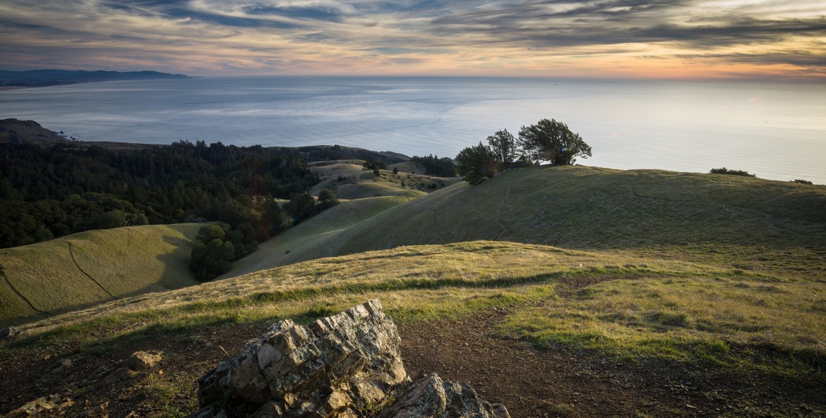
With its spectacular views of virtually the entire San Francisco Bay Area, the Verna Dunshee Trail is the crown jewel of Mount Tamalpais. It is also the crown: Forged in 1896, this lovely path traces a three-quarter-mile circle around the east peak of Marin County's 2,571-foot signature mountain.
Named for a founding member of the Marin Conservation League, the Verna Dunshee had always been level and an easy walk for most visitors. But in 1967 a landslide obliterated a portion of the trail that was subsequently replaced by stairs. And to reach one of the trail's highlights, the Sunrise Point overlook with its dazzling views of San Francisco, hikers had to scramble down some boulders.
In the fall of 2003, California State Parks (with the cooperation of the Marin Municipal Water District) decided to give the Verna Dunshee a makeover. Work crews filled potholes and replaced the stairs with an asphalt path. Best of all, they raised the Sunrise Point overlook five feet, making it accessible to strollers, wheelchairs, and even the most casual hikers.
From this breathtaking spot you can see practically all the Bay Area's landmarks, from San Francisco's Transamerica Pyramid to Mount Diablo in the East Bay. And a free brochure from the visitor center will help you identify the Verna Dunshee's other treasures: the native manzanita, feathery yerba santa, and sunny yellow monkey flowers growing trailside.
Getting There
From Highway 101 take the Highway 1–Stinson Beach exit and follow the signs to Mount Tamalpais–East Peak. Mount Tamalpais State Park.
